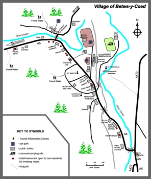
Maps of Betws-y-Coed
If you are tired by life, come to the Betws-y-Coed, you will be breathless just standing still
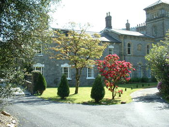
Betws-y-Coed was founded around a monastery in the late sixth century, and grew very slowly with the development of the local lead mining industry. In 1815, the Waterloo Bridge built by Thomas Telford to carry A5 road across the River Conwy and through the village brought considerable transport-related development. The village became a major coaching centre between Corwen (to the east) and Capel Curig (to the west) on the Irish Mail route from London to Holyhead, which led to the improvement of the roads south to Blaenau Ffestiniog and north to Llanrwst and Conwy.
Click here website link to enlarge map
The construction of Betws-y-Coed railway station in 1868, heralding the arrival of the railway line from Llandudno Junction railway station, resulted in a marked population growth.
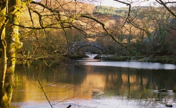
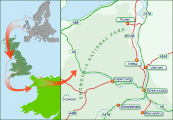
Betws-y-Coed is a village in the Conwy valley in the county borough of Conwy, north-west Wales. It lies in the Snowdonia National Park in a valley near the point where the River Conwy is joined by the River Llugwy and the River Lledr.
Click here website link to enlarge map
Maps of Betws-y-Coed Statistics: 0 click throughs, 2459 views since start of 2024
